Goodyear East End: The Akron Terminal of the Future.
The East End has seen some strong improvement over the last decade. A few eateries, some small shops, a theater, and some additional retail space available. We are more interested about what lies behind it:
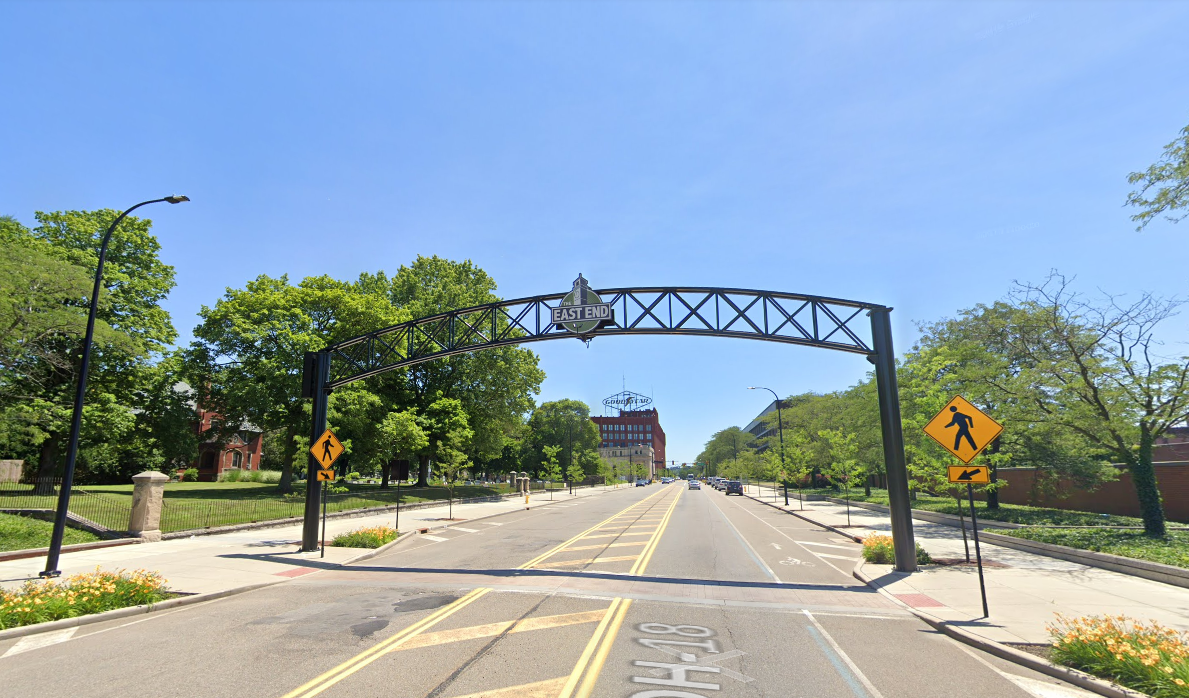
The East End has seen some strong improvement over the last decade. A few eateries, some small shops, a theater, and some additional retail space available. We are more interested about what lies behind it:
What a bunch of prime real estate beside a rail (owned by the Metro Authority by-the-way) getting eaten by a parking lot. This parking lot is a relic, mind you, from a time when Goodyear was doing a serious amount of manufacturing in this area. Wouldn't the large central building make for a natural terminal for Akron? The building a short spur heading into the building; I am unsure how deep in it goes and whether that would be more valuable as the station itself or for maintenance.There is still space for a purpose build terminal in the parking lot connected to what I assume is(or could be converted to) an entrance to the commercial area above.
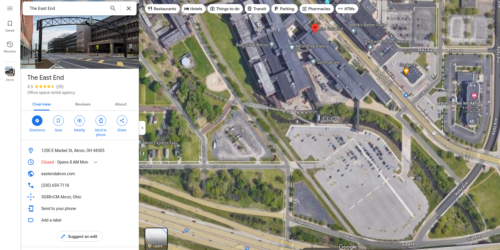
Here is a strip mall along this "City of Akron Right of Way" that would benefit from a station:
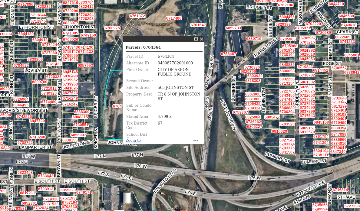
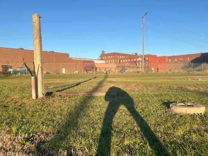
The most challenging section of this right of way lies on the Northwest side of the I-76/SR-8 interchange. We could go up and over it since we would need to lay new line anyways, but that would more than likely be the most expensive option. I would recommend we eat up some of the right of way on Johnston St. and Brown St. until we can re-align to the Akron City Right of Way via Lafollette St. The line would then head west bound under Brown St. Here an idea of the area with a current Akron Utility plot highlighted along the line:
Here could be the final Terminal location:
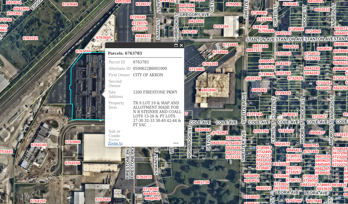
This is the Firestone Historic Headquarters. You know how we could truly give back to the communities that helped support that company through it's domestic life? Why not turn their historic building into a new terminal, commercial, and residential mixed use area. The city of Akron owns a clearly connected right-of-way the whole way. The building is large enough to host multiple shops (demand them local businesses and at a discounted rent for first time store-owners), and connect to a new terminal built over the former Firestone Parkway right of way for easy access.
The building has been renovated into office space for the city and is rumored to be developed into an economic hub. We could probably accelerate that by giving people a reason to go there. Can you imagine a "Rubber Line" that went from Goodyear's East End to this Firestone development?
I would be curious to know what some of the locals within the .5 mile radius thought of this idea. It would make sense for a full service local grocer to be located in either terminal to service the local area.
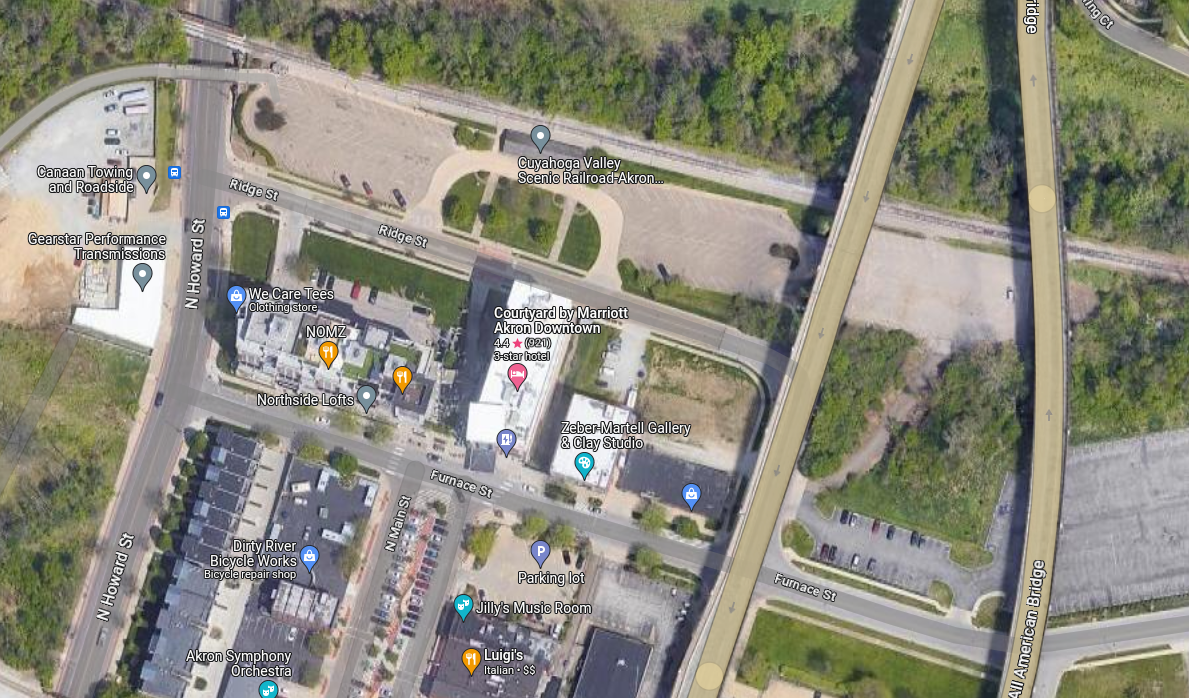
The Metro owned line still has rail available and is a part of the Cuyahoga Valley Scenic Railroad. The infrastructure is already there and would require some expansion to compensate for more volume. This station would be fulfilling a new role to transport North Akronites to the East End and the East Akronites into downtown. The station looks like this:
How could we move the scales to see major investment away from car-centric infrastructure? It is not like Akron is afraid to spend money on infrastructure deemed useless. This would undoubtedly increase the foot-traffic to the north side Main St. Akron's Main St. Has suffered seperation from highways two times already, severing the north side and the south side from Akron proper. We need to take action for a more connected Akron.
Comments ()