Cleveland's Detroit Bridge: Returning access to a rising economic area.
We do not need to continue using cars as a pre-requisite for who may live in certain neighborhoods. We know that a lot of people need to travel to and from these high density areas and the most efficient way to do so is with a rail line.
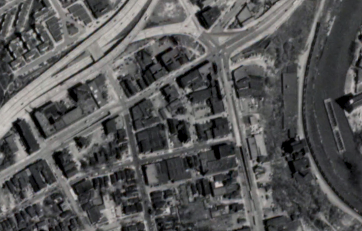
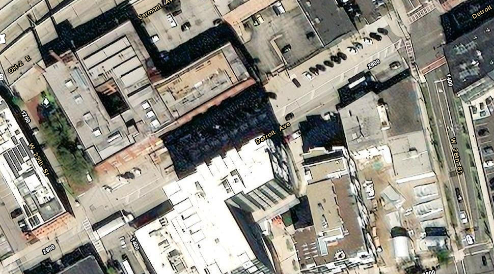
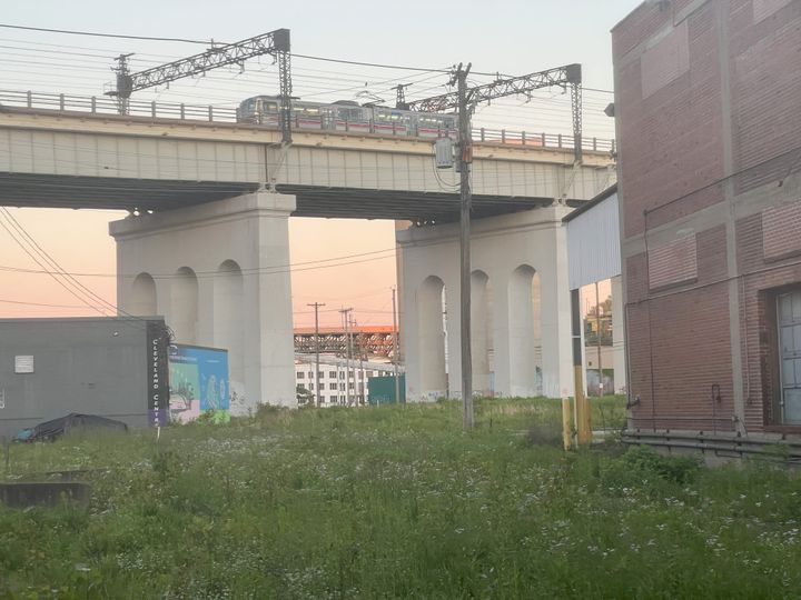
June 23rd and 24th there will be a community meeting and opportunity to tour the lower level of the Detroit Ave. bi-level bridge in Cleveland. The line tunneled to the surface heading west on Detroit right before W.29th. You can see the scars of the tunnel where all the parking is in front of the building (like there isn't a parking lot within a half mile of the storefronts) today.
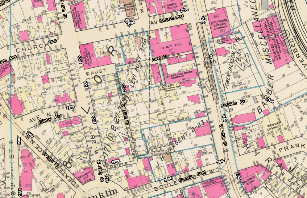
There was another line that turned south under W 25th and surfaced prior to Franklin Blvd:
There was a ton of accessibility that stemmed from the subway under Detroit Ave. This provided all of Ohio City more integration and more access to the City amenities without needing to rely on personal transportation. This is a city service to be clear. We never ask the public water/electric utilities to generate a profit.
This is about making the efficient choice to move people around that currently live/work in this area. Whether or not the best choise is truly a dedicated lane for an at-grade tram or a grade seperate light rail depends on our goal density of the area. If we truly want a downtown with residential high-rises, then providing them access to economic areas without requiring them to own cars is essential. This opens up more of your possible tenants income and may lead to improvements in their quality of life.
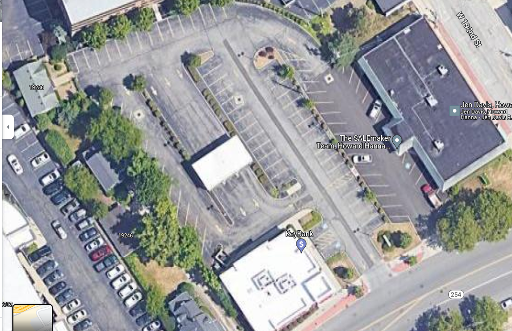
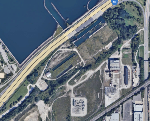
This historical tramway did head the whole way out Lake Ave. to provide downtown access Rocky River. We can have this back, but we must demand it. Here is some scarring of the tram right of way still just past W 192nd St:
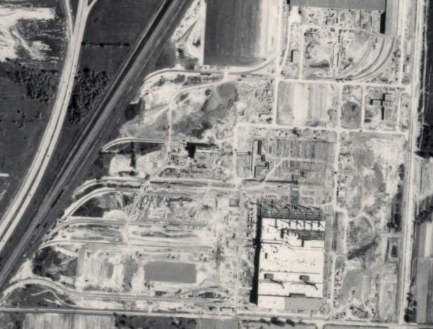
The southbound line down W 25th ran all the way past the Cleveland Zoo. At the time the zoo was a railroad yard.
We must return the ability for people to live without cars within our city. We do not need to continue using cars as a pre-requisite for who may live in certain neighborhoods. We know that a lot of people need to travel to and from these high density areas and the most efficient way to do so is with a rail line. Start asking now for what our ancestors already knew was valuable.
Comments ()