Waterfront Line: Re-open and Expand
Square it on the owners to re-lay the track or confiscate the Right-of-Ways. We gave these lands to literal robber barons for pennies on the dollar. The city can get aggressive with their demands, it is not like the rail company will come and rip up anymore track.
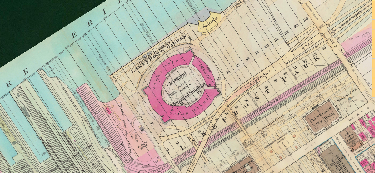
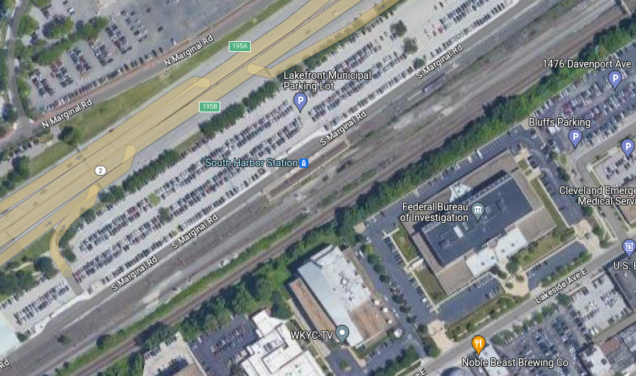
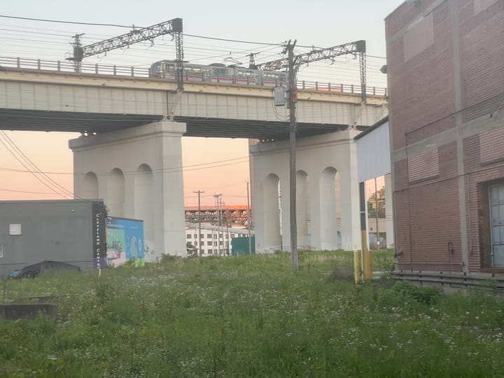
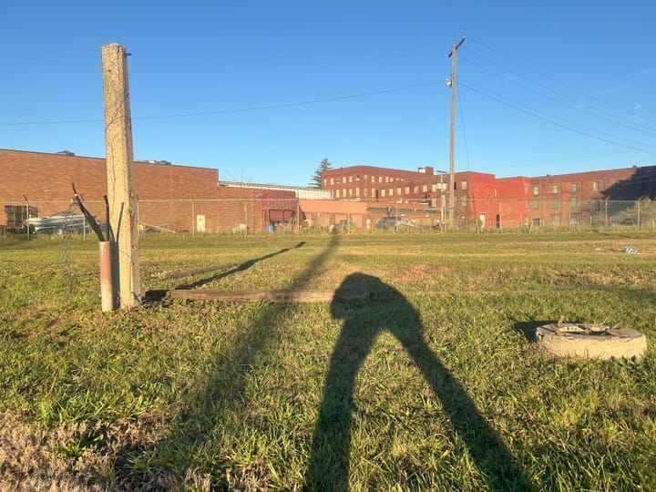
The Waterfront line closed in 2020 for "reasons". The South Harbor transit station sits as a wasteland.
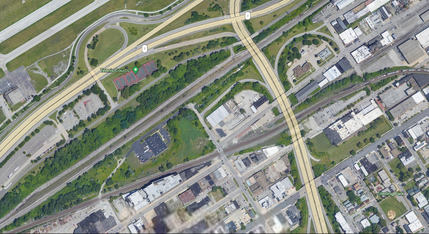
This line can be easily extended east. How do I know? The rail infrastructure that was to the east of this area used to have MANY more parallel rails and accept much higher volume. One major complaint I have recently received is "the freight volume is too high". That may be true with our current lines, but the right of ways are still available to re-track, electrify and run lines east out to the edge of the county.
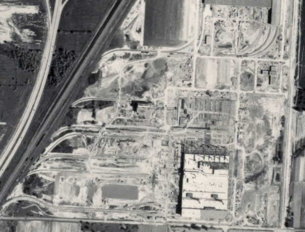
The area shown above used to look like this:
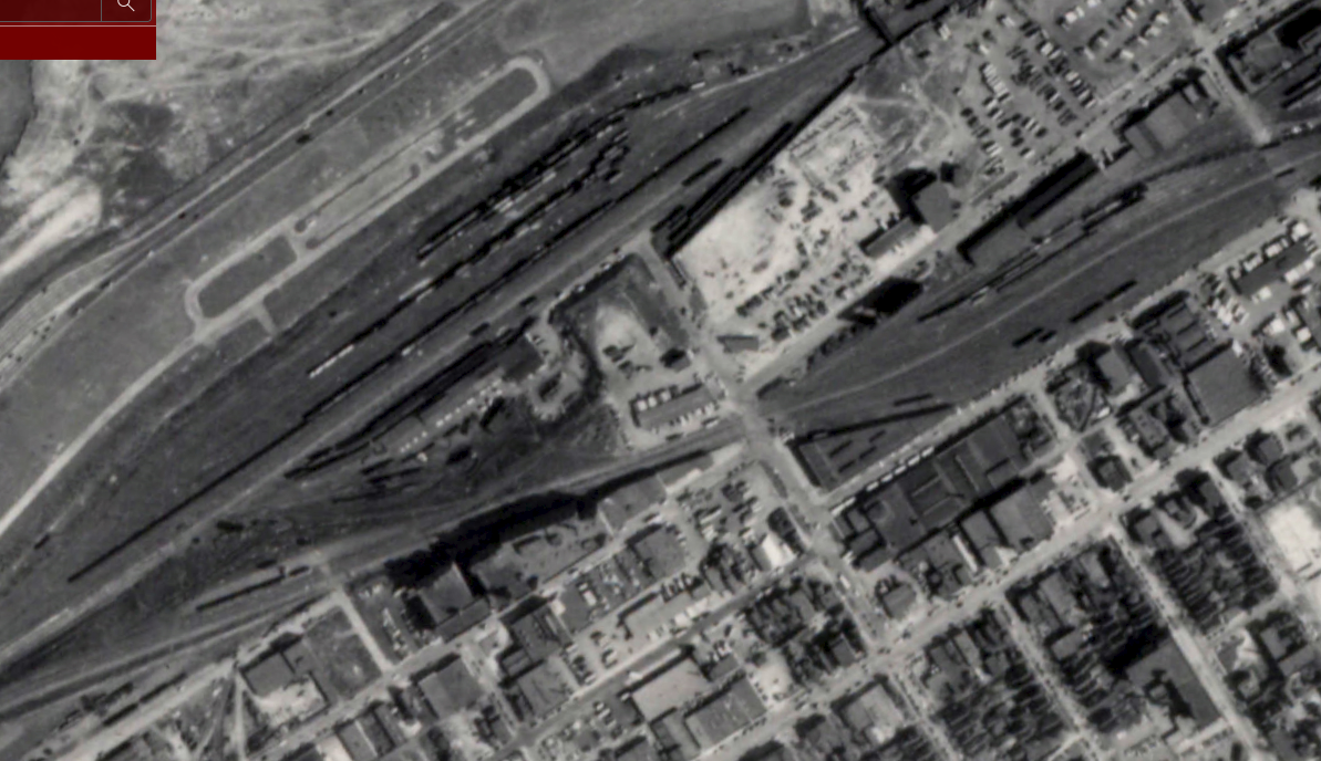
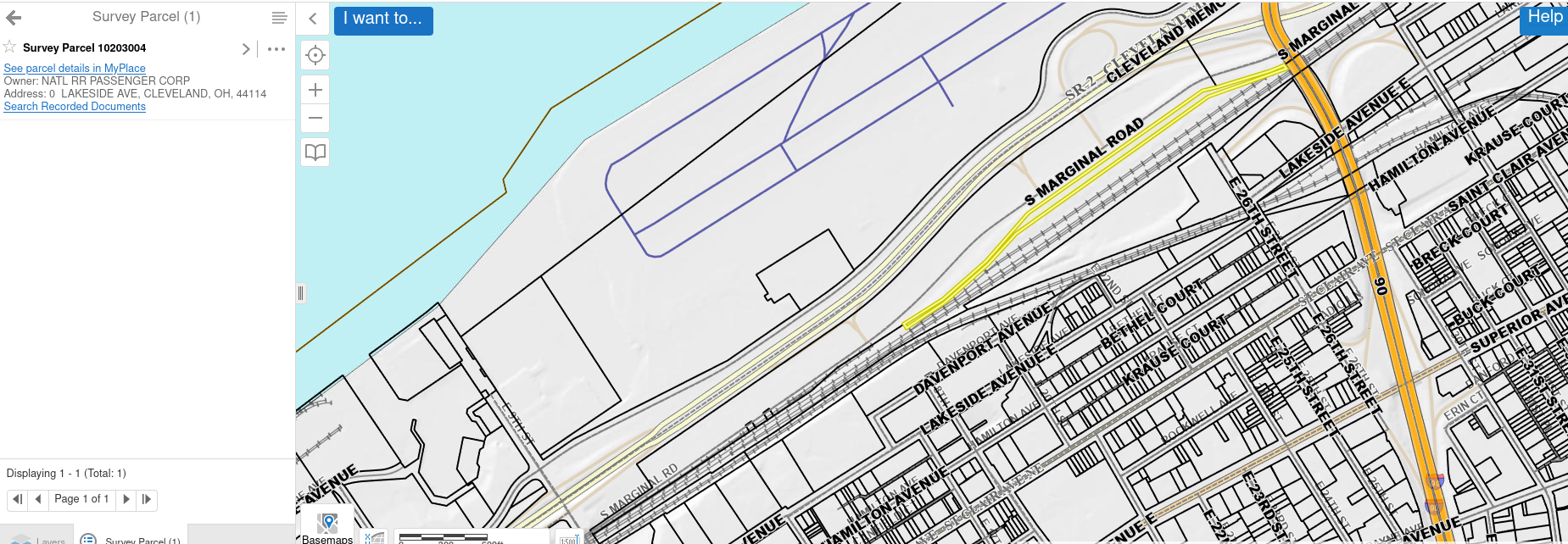
There are two areas with 5+ parallel tracks where there are currently maybe only a pair a piece still standing. Take a look for yourself:
Square it on the owners to re-lay the track or confiscate the Right-of-Ways. We gave these lands to literal robber barons for pennies on the dollar. The city can get aggressive with their demands, it is not like the rail company will come and rip up anymore track. Billions of dollars in revenue with millions of dollars of profit over the last 100 years: You must have saved some of it, right? The northern tracking would only make sense out to E105th St. as far as an RTA along current rail right-of-ways are concerned. This would provide service to the St. Clair and Glenville neighborhoods.
The southern tracking takes a turn southeast and runs past the E.79th RTA Station. Why wouldn't we connect these two lines to create a public transportation outer belt? These right-of-ways are currently double tracked but have historically been quad tracked. There is space for a public transit line, or even a private one given the right lease agreement (read: free or else city confiscates it all) with the railroad. This would provide access to the Lakefront for the folks in Central and Fairfax.
I am curious to hear what these communities thoughts would be in for this service. Would this kind of mobility be helpful for you or do you need something even more local than this?
Comments ()