What Was Taken: Cedar-Central Neighborhood
A few notable things happened over the next few decades that impacted many mid-west city neighborhoods; the construction of the highways, white flight, redlining, and euclidean zoning. Let's see how that has impacted this area:
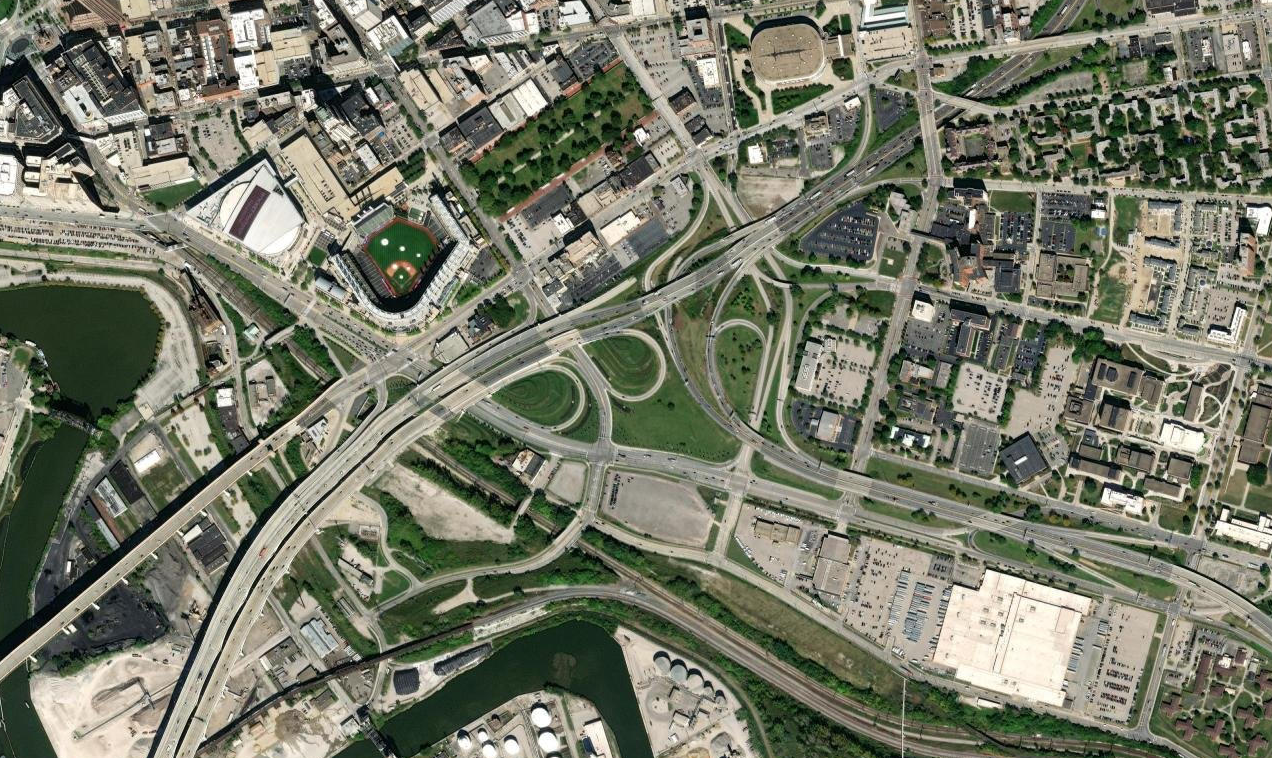
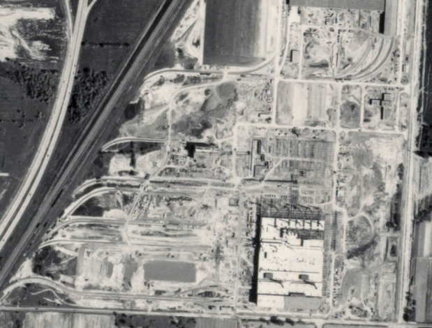
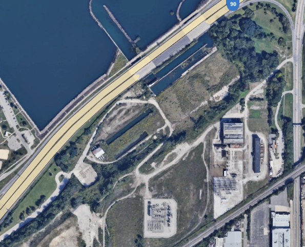
There was a time before the concrete monstrosities of Interstates 90/77 interchanges in Cleveland. A time when the Central neighborhood was not CLEaved away from downtown.
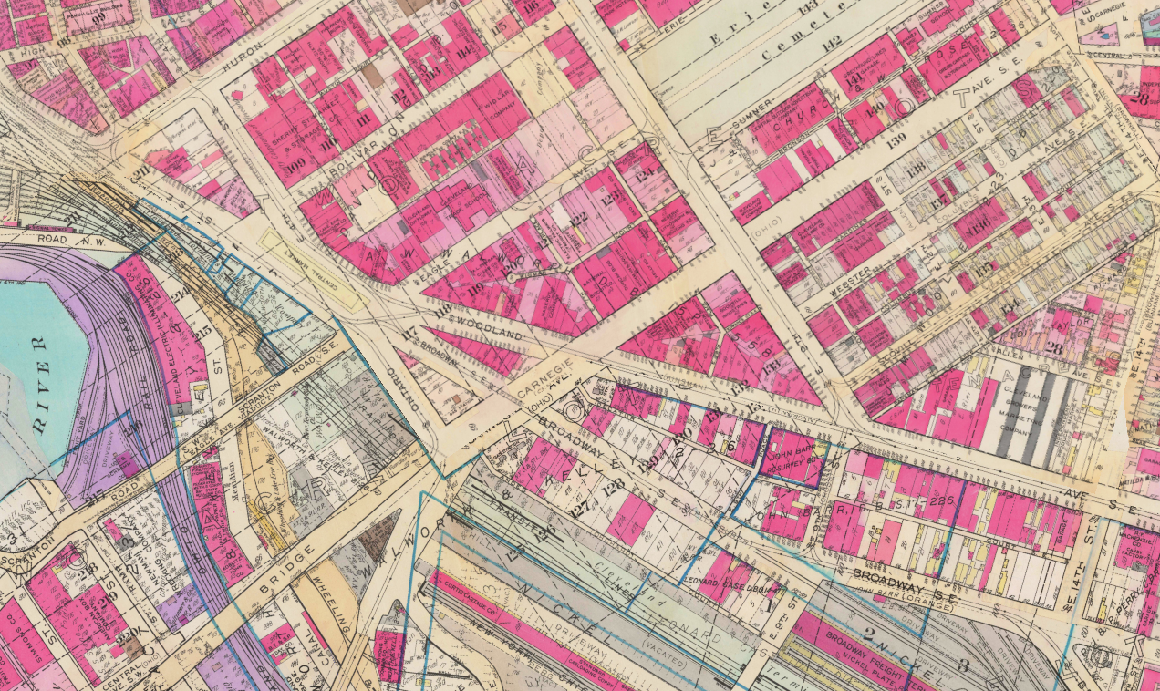
There were two streetcar services that went out to the southern and eastern suburbs; these no doubt made downtown more accessible for an area that has been dis-invested in since the construction of our interstates. Don't believe me? Let's take a look at pre and post interstates via ARCGIS:
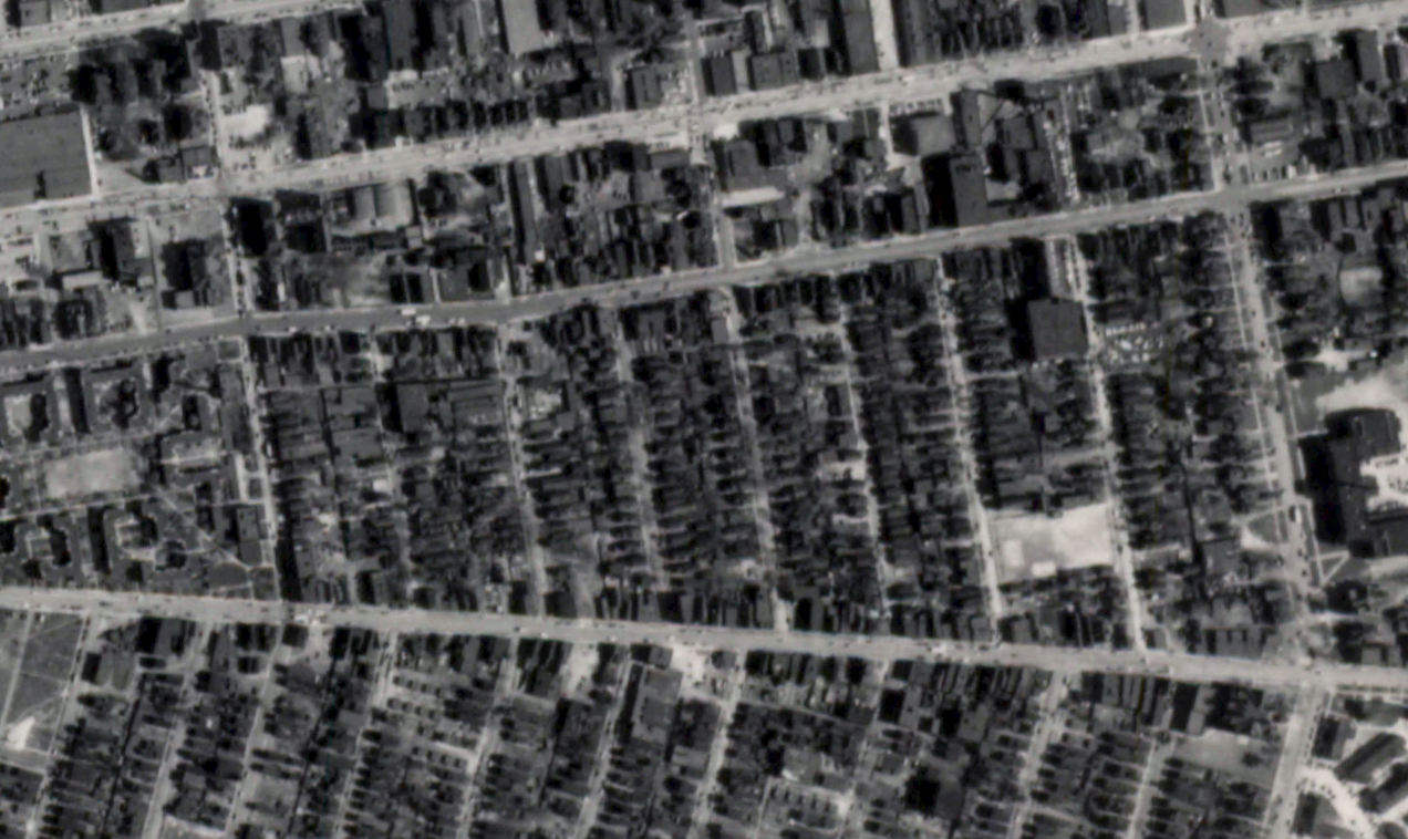
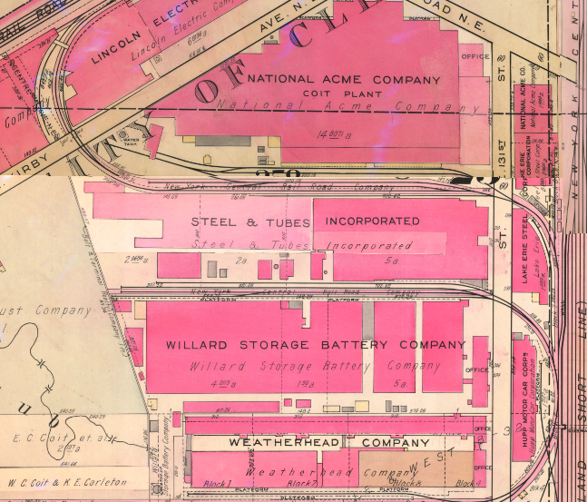
Note all of the purple shaded buildings are commercial buildings. Scoville Ave. and Woodland Ave. have a significant amount of jobs and economic activity. Let's see how this area progressed post WWII:
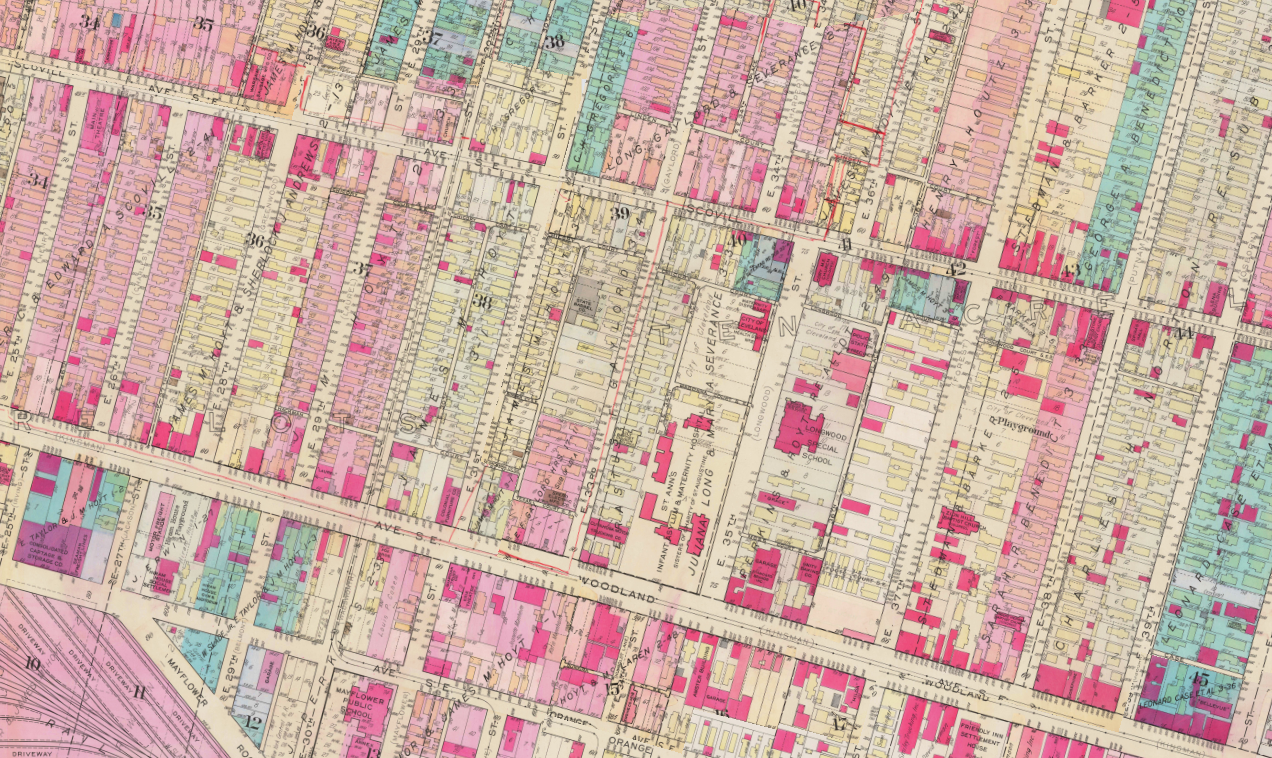
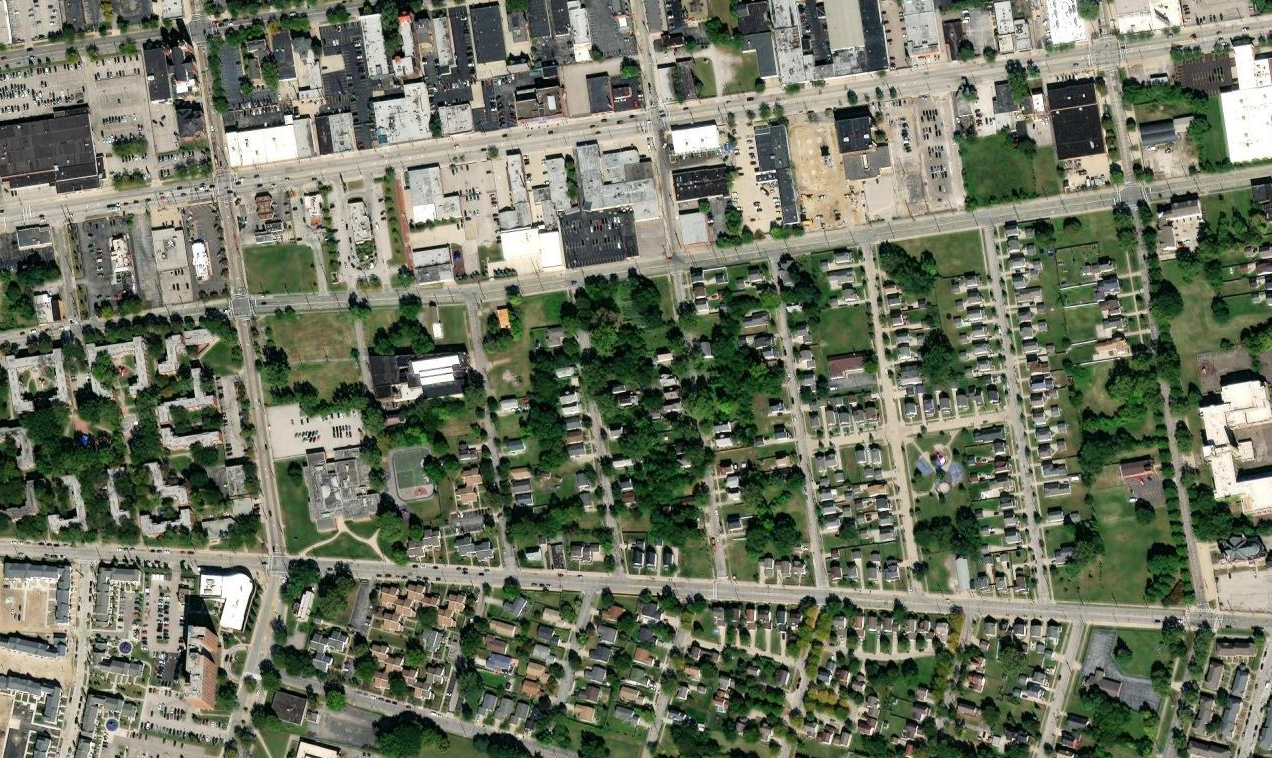
The neighborhood still has a home in (nearly) every lot. Cleveland is still a manufacturing hub at this point. A few notable things happened over the next few decades that impacted many mid-west city neighborhoods; the construction of the highways, white flight, redlining, and euclidean zoning. Let's see how that has impacted this area:

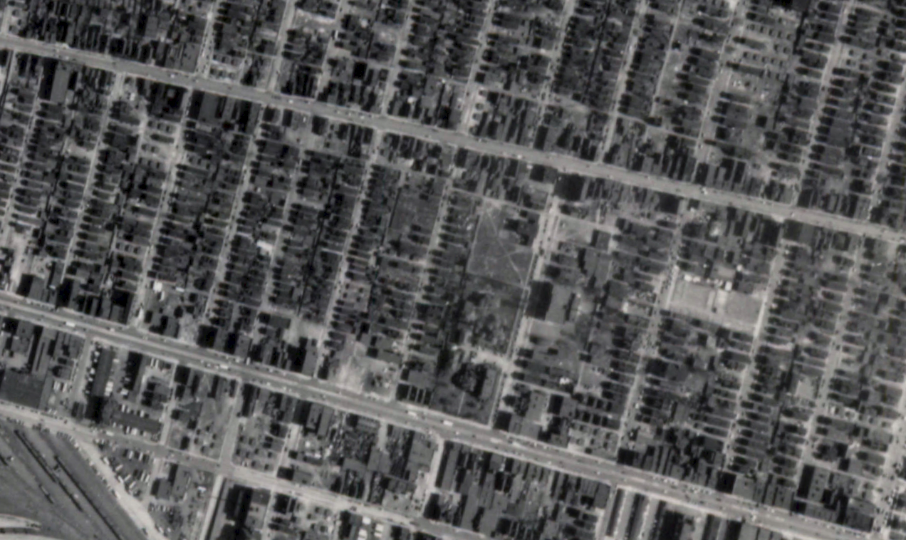
Not a single commercial entity on Scoville or Woodward unless you count Tri-C or the offices to the apartment complex. How many jobs have been lost to the area? How many homes? The tax base has fallen down and the population was taken for the ride. Truly it should be the city stepping in to provide services to the area and subsidize investment.
We, instead, receive Superior Ave redevelopment, port authority loans to apartment construction in Ohio City, and CDCs working to get grants for distribution to areas that already have the access to resources. Urbanists of Cleveland, please talk to city officials and their adjacent NGOs incessantly to benefit areas like Ceder-Central. Hold them accountable to make tangible changes to the everyday lives of our neighborhoods that have been left behind by traditional investors.
I do not believe that this is the "ideal" system, rather the next step toward further refinement of our system. Here are some parting thoughts:
The above shows the neighborhood scarred from demolition. Here is what it was post WWII:
Keep in mind both Cedar Ave. and Central Ave. had a streetcar service that would transport folks all the way into public square. More importantly this got folks to their daily needs without requiring them to have access to cars. We must return quality service to our neighborhoods.
Comments ()